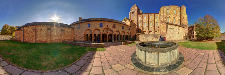
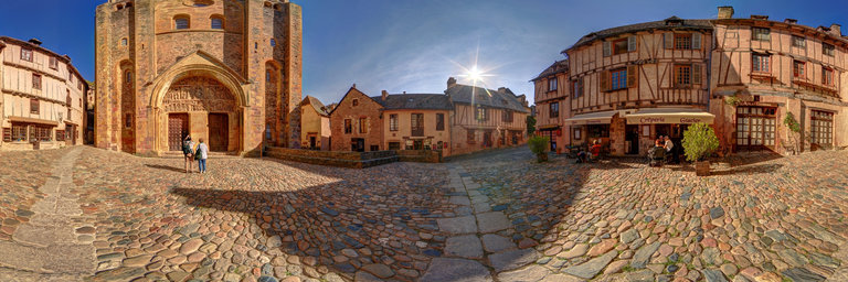
Добавить любой RSS - источник (включая журнал LiveJournal) в свою ленту друзей вы можете на странице синдикации.
Исходная информация - http://www.360cities.net/. Данный дневник сформирован из открытого RSS-источника по адресу http://www.360cities.net/rss/rss.xml, и дополняется в соответствии с дополнением данного источника. Он может не соответствовать содержимому оригинальной страницы. Трансляция создана автоматически по запросу читателей этой RSS ленты. По всем вопросам о работе данного сервиса обращаться со страницы контактной информации.[Обновить трансляцию]
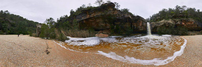
360° panorama by Vicente Soler. Click the image to open the interactive version.
Puddles of water from Quesa, are natural pools in the middle of the mountain
360° panorama by Vicente Soler. Click the image to open the interactive version.
Puddles of water from Quesa, are natural pools in the middle of the mountain
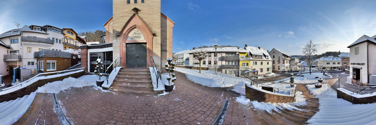
360° panorama by Ackermann Ralf. Click the image to open the interactive version.
Heigenbr"ucken is a municipality in the Lower Franconian district of Aschaffenburg in the middle of the Spessart. The village of Heigenbr"ucken is a state-approved climatic health resort in the Lohrbach valley between Jakobsthal and Neuh"utten. We are here in front of the portal of the parish church of St. Wendelinus. The first baroque church at this point was replaced by a neo-Gothic new building in 1892-1893 and a transept was added in 1935.
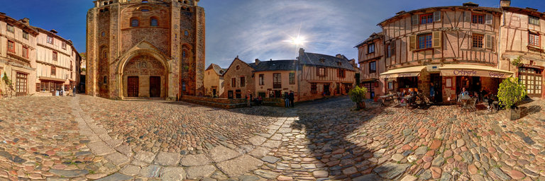
360° panorama by Andrew Bodrov. Click the image to open the interactive version.
NASA's Mars Exploration Program (Image credit: NASA/JPL-Caltech/MSSS) Sol 1384: Baynes Mountain The images for panorama obtained by the rover's 34-millimeter Mast Camera. The mosaic, which stretches about 30,000 pixels width, includes 140 images taken on Sol 1384 (June 27, 2016). Our weekend soliday plan was successful, putting us about halfway to our next likely drilling location. We are now in "unrestricted" planning again, meaning we will be getting data down overnight and can plan every day this week. The Sol 1384 plan starts with ChemCam of the target "Berseba". Mastcam will also image Berseba, as well as the ChemCam AEGIS target from the weekend. Mastcam then has a mosaic of the nearby "Baynes Mountain" to capture the details of the stratigraphy there, as well as some atmospheric observations. After that, the plan is to drive for about 70 meters and collect our standard post-drive images. Since the drive is expected to put us in a location with a good view of the surrounding geology, we will also do a 360 degree Mastcam mosaic at the end of the sol. Ryan Anderson Planetary scientist at the USGS Astrogeology Science Center and a member of the ChemCam team on MSL Other panoramas of Mars by Curiosity rover: http://www.360cities.net/sets/curiosity-mars
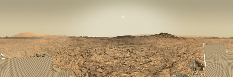
360° panorama by Jorge Laucirica. Click the image to open the interactive version.
Highway bridge over the Rio Sauce Grande in El Paraje, Las Oscuras, Province of Buenos Aires, Argentina.
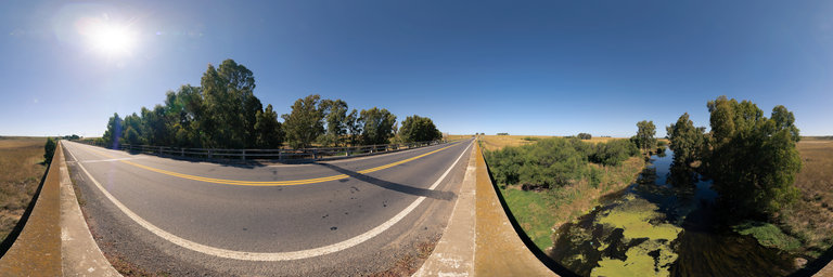
360° panorama by Jorge Laucirica. Click the image to open the interactive version.
Highway bridge over the Rio Sauce Grande in El Paraje, Las Oscuras, Province of Buenos Aires, Argentina.
360° panorama by Jorge Laucirica. Click the image to open the interactive version.
Rio Sauce Grande Bridge. Railway bridge near the Las Oscuras area, in the province of Buenos Aires.
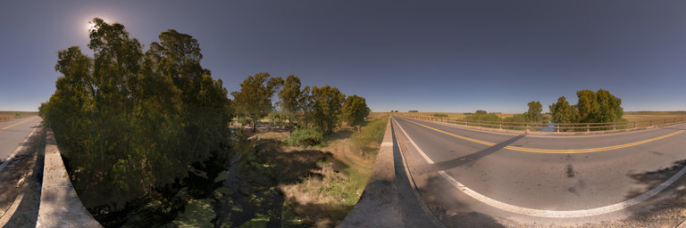
360° panorama by Jorge Laucirica. Click the image to open the interactive version.
Rio Sauce Grande Bridge. Railway bridge near the Las Oscuras area, in the province of Buenos Aires.
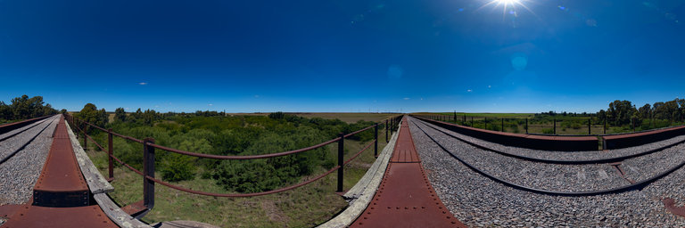
360° panorama by Jorge Laucirica. Click the image to open the interactive version.
Rio Sauce Grande Bridge. Railway bridge near the Las Oscuras area, in the province of Buenos Aires.