Добавить любой RSS - источник (включая журнал LiveJournal) в свою ленту друзей вы можете на странице синдикации.
Исходная информация - http://www.360cities.net/. Данный дневник сформирован из открытого RSS-источника по адресу http://www.360cities.net/rss/rss.xml, и дополняется в соответствии с дополнением данного источника. Он может не соответствовать содержимому оригинальной страницы. Трансляция создана автоматически по запросу читателей этой RSS ленты. По всем вопросам о работе данного сервиса обращаться со страницы контактной информации.[Обновить трансляцию]
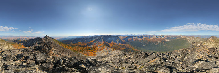
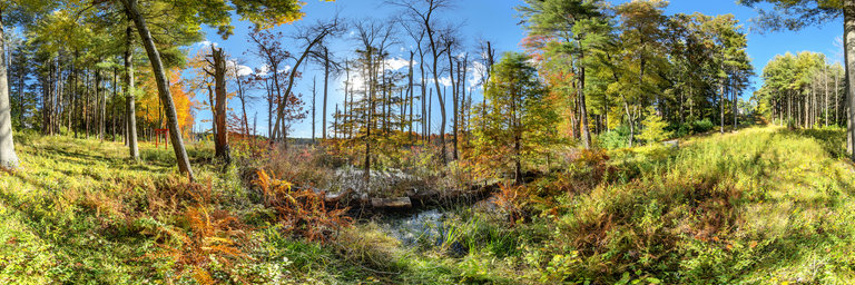
360° panorama by William l. Click the image to open the interactive version.
Gigapixel view from atop Raven Ridge (elev. 8,580') in the Sawtooth Ridge area of the North Cascades in Washington state. The peak is easily accessible from Crater Lake below & has a fantastic 360 degree view, especially this time of year when all the larches are in full autumn color. Here you can see Mt. Bigelow immediately to the south, Oval Peak to the west looking like a broad talus hill, & Hoodoo Peak immediately to the north. Distant views span from Mt. Daniel way in the distant south to the top of Glacier Peak, Mount Maude & Seven Finger Jack area, plus Buckner Mountain & other peaks in the massif. From this summit, it is quite apparant that a higher summit is in close proximity just to the east. It is about 10' higher than where I'm standing, marking the true summit (even though most maps indicate this as the high point), yet from here I think this view is better.
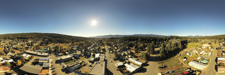
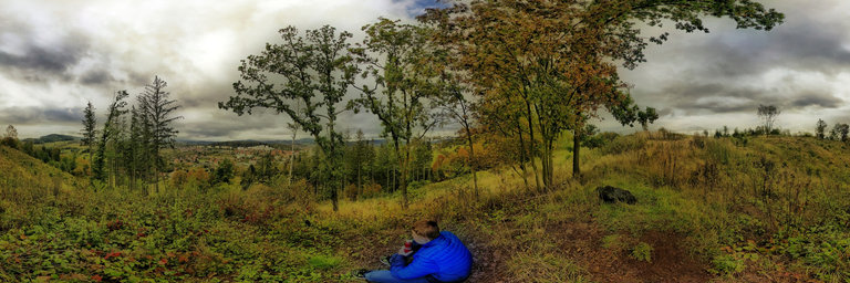
360° panorama by William l. Click the image to open the interactive version.
A 200' aerial view overlooking Roslyn, Washington, which has a population of 958 as of 2019. The town was founded a coal mining town in 1886 but is now known for its forestry & tourism. Movies & TV shows have used the town as a filming location. Its downtown was added to the national register of historic places in 1978. More info here: https://en.wikipedia.org/wiki/Roslyn,_Washington
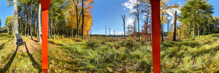
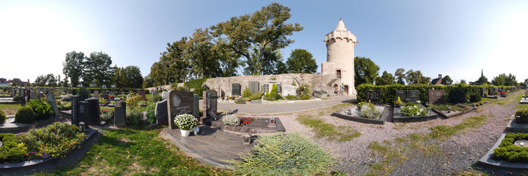
360° panorama by Ackermann, Michael. Click the image to open the interactive version.
Seligenstadt is located in the Offenbach district in Hesse. The city fortifications laid out in the 12th century and reinforced in the 15th century originally had four gate towers and six bulwark towers. The bulwark tower shown here was the mill bulwark between the monastery wall and the cemetery wall. It was built as a defense tower on the southeast corner of the city fortifications and was built by the monastery in 1462.
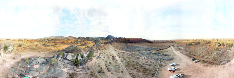
360° panorama by Konstantin Budaev. Click the image to open the interactive version.
The most famous stone in the Bayanaul national Park is mount Kempirtas (old woman – stone), or, as all tourists call it, Baba Yaga. Самый, известный камень в национальном парке Баянаул – гора Кемпиртас (старуха-камень), или, как его называют все туристы, Баба-Яга.