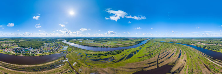
Добавить любой RSS - источник (включая журнал LiveJournal) в свою ленту друзей вы можете на странице синдикации.
Исходная информация - http://www.360cities.net/. Данный дневник сформирован из открытого RSS-источника по адресу http://www.360cities.net/rss/rss.xml, и дополняется в соответствии с дополнением данного источника. Он может не соответствовать содержимому оригинальной страницы. Трансляция создана автоматически по запросу читателей этой RSS ленты. По всем вопросам о работе данного сервиса обращаться со страницы контактной информации.[Обновить трансляцию]
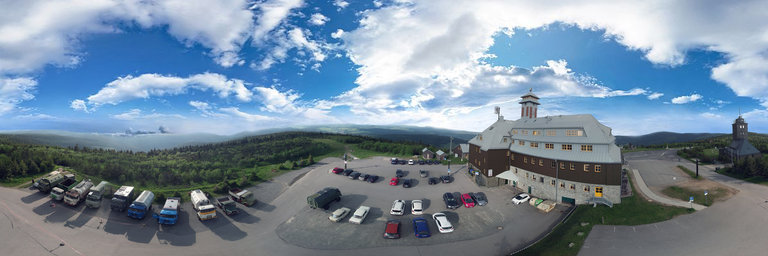
360° panorama by Renato Pietsch. Click the image to open the interactive version.
Mit Oldtimer Lastwagen auf den h"ochsten Berg der DDR, den Fichtelberg mit 1215 Meter "uber NN. IFA-Tours Camp 2020 bei der DDR - Umrundung.
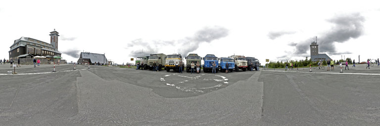
360° panorama by Renato Pietsch. Click the image to open the interactive version.
IFA-Tours Camp auf dem Fichtelberg 1215 Meter NN 2020, mit Oldtimer Nutzfahrzeugen. IFA-Tours Camp 2020 bei der DDR - Umrundung.
360° panorama by Yves Provence. Click the image to open the interactive version.
We are on the town of Revest Saint Martin, in the bed of the river Lauzon that we went up towards its sources.
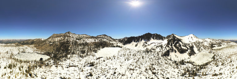
360° panorama by William l. Click the image to open the interactive version.
A 400' birds eye view overlooking the frozen Twentymile Lakes north of McCall, Idaho. There are four lakes in the basin, each with a cardinal name. View of Storm Peak & the unofficial "Storm Dome" w/ distant views of other ranges as far away as the Wallowa Mountains.
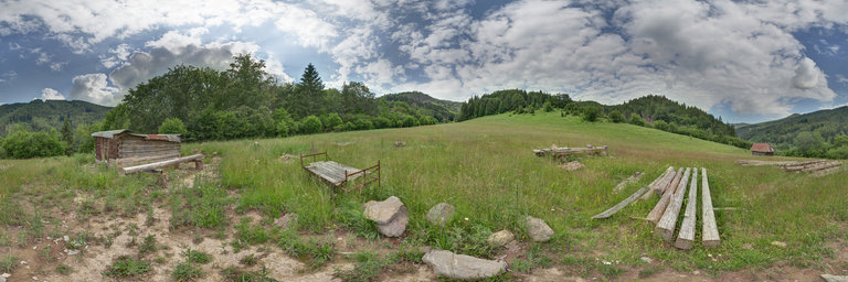
360° panorama by Bruce Hemming. Click the image to open the interactive version.
The South Downs Way National Trail is a long distance footpath and bridleway that follows old tracks and droveways along the chalk escarpment and ridges of the South Downs. This area was a source of inspiration for a number of artists, most notably Eric Ravilious and also the Charleston Farmhouse /Bloomsbury Group.
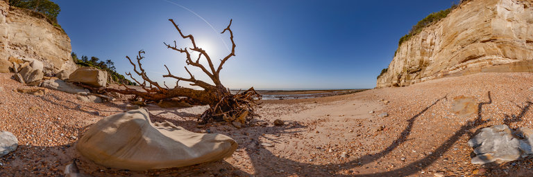
360° panorama by Bruce Hemming. Click the image to open the interactive version.
Rock pools at low tide on the beach at Cliff End, Pett. There are the remains of a petrified forest visible at low tide and many examples of dinosaur footprints in the rocks. The sandstone cliffs are subject to recent falls but there is still evidence of early hunter gatherer peoples who left flint tools and hand axes in caves.
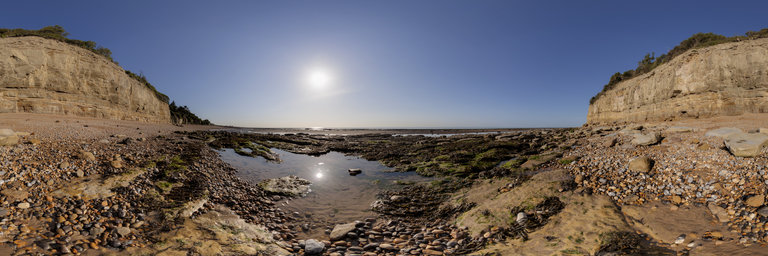
360° panorama by Bruce Hemming. Click the image to open the interactive version.
Early morning in summer on the beach at Cliff End, Pett. There are the remains of a petrified forest visible at low tide and many examples of dinosaur footprints in the rocks. The sandstone cliffs are subject to recent falls but there is still evidence of early hunter gatherer peoples who left flint tools and hand axes in caves.