Добавить любой RSS - источник (включая журнал LiveJournal) в свою ленту друзей вы можете на странице синдикации.
Исходная информация - http://www.360cities.net/. Данный дневник сформирован из открытого RSS-источника по адресу http://www.360cities.net/rss/rss.xml, и дополняется в соответствии с дополнением данного источника. Он может не соответствовать содержимому оригинальной страницы. Трансляция создана автоматически по запросу читателей этой RSS ленты. По всем вопросам о работе данного сервиса обращаться со страницы контактной информации.[Обновить трансляцию]
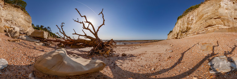
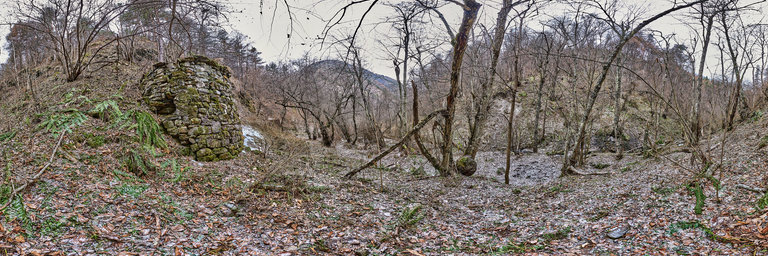
360° panorama by Bruce Hemming. Click the image to open the interactive version.
Early morning in summer on the beach at Cliff End, Pett. There are the remains of a petrified forest visible at low tide and many examples of dinosaur footprints in the rocks. The sandstone cliffs are subject to recent falls but there is still evidence of early hunter gatherer peoples who left flint tools and hand axes in caves.
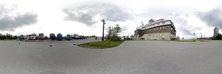
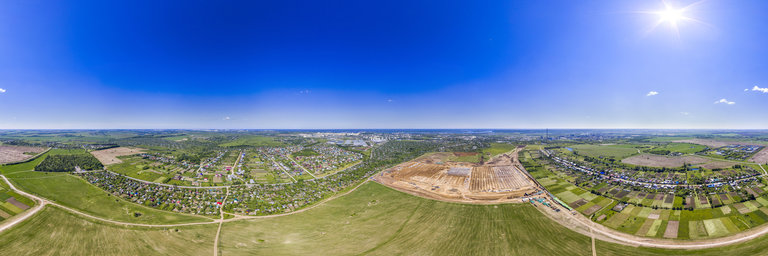
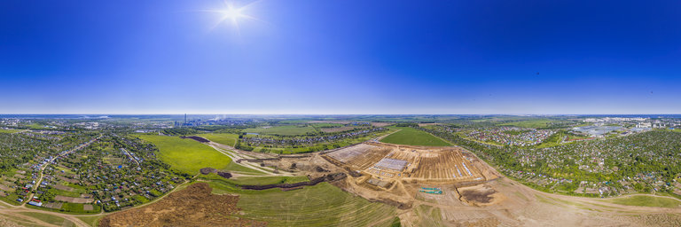
360° panorama by Renato Pietsch. Click the image to open the interactive version.
Mit IFA LKW L60, W50 und S4000 auf dem Fichtelberg. IFA-Tours Camp 2020 bei der DDR - Umrundung.
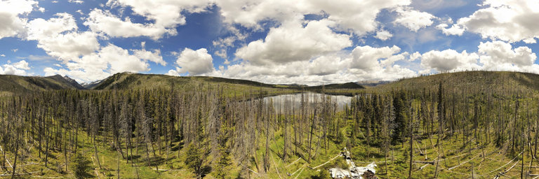
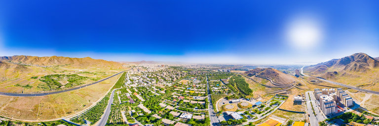
360° panorama by William l. Click the image to open the interactive version.
Aerial view about 100' above the swampy (high water table) ground. Located at Loon Lake near Secesh, Idaho is this fairly intact wreck of a Douglas B-23 Dragon bomber. There was a total of 38 of these planes built (having a 92' wingspan) w/ the first one flown on July 27, 1939. Two interpretive signs at the wreckage provide details of the plane & the incident. According to one of the signs: The B-23 Dragon Bomber, low on fuel and hampered by heavy icing, crash-landed at Loon Lake on January 29, 1943. After a skillful landing by pilot Lieutenant (Lt.) Robert Ore and the eight airmen - Lt.s, Kelly, Orr, and Schermerhorn; Seageants Hoover, Freeborg, Pruitt, Loewen; and Corporal Beaudry - built a lean-to and a fire in the waist-deep snow, rationed their emergency food, and worked to stay alive as snow continued to fall. On the fourth day after the crash, Pruitt, Schermerhorn, and Freeborg set out down the Secesh River to find help. After six days they found a Forest Service map on the wall of a log cabin near Zena Creek, which helped the men identify their location and their route to McCall. Frequent avalanches were observed as they followed telephone lines through knee-deep snow up a v-shaped valley and over Lick Creek Summit. After 13 days, they found an old CCC camp building where they left the injured Pruitt. Freeborg and Schermerhorn continued the last five miles to the Lake Fork Guard Station, where they found a phone and called McCall. These airmen had walked 35-40 miles through deep snow in 15 days. At Loon Lake, the five men lived on woodpeckers, a squirrel, and a few chocolate rations. Sixteen days after the crash, backcountry pilot Penn Stohr spotted the airplane and 5 crew members while on a routine supply flight to Warren. The next day, Penn made two hazardous landings to fly out the 5 airmen. The city of McCall closed schools and stores, and greeted the survivors. Though young trees have grown in, one can still see the line the plane made after sliding off the lake into the woods. The remains of the plane are a historic site and should not be removed or defaced.
360° panorama by William l. Click the image to open the interactive version.
"Storm Dome" is located near McCall, Idaho & is an unranked summit with an impressive east face. It connects on a high ridge to the higher Storm Peak. Here this aerial view shows the 500' vertical granite wall that drops in sheer fashion from the summit down to the mostly frozen Storm Peak Lake. The peak is rather nondescript from the ascent side & one cannot see over the edge too well. Lack of easy access makes this face not see many technical ascents (if any at all). Zoom in to the tippy top to see my blurred figure (red arrow) as I'm 250 feet above this shot. Views of Storm Peak & North Loon Mountain across the way.
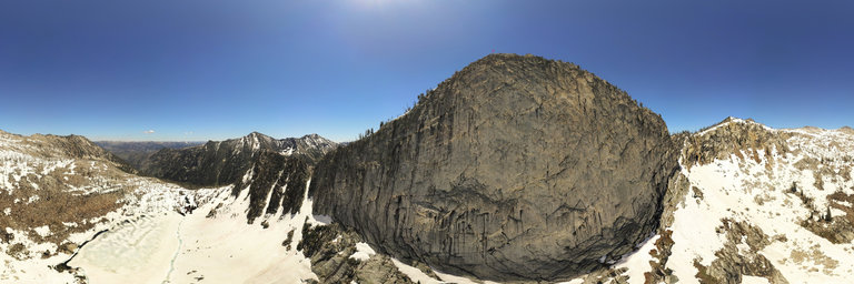