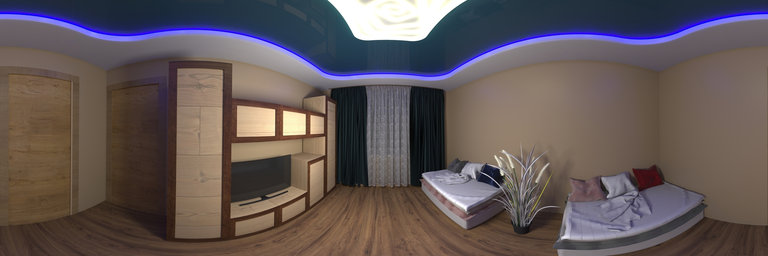
Добавить любой RSS - источник (включая журнал LiveJournal) в свою ленту друзей вы можете на странице синдикации.
Исходная информация - http://www.360cities.net/. Данный дневник сформирован из открытого RSS-источника по адресу http://www.360cities.net/rss/rss.xml, и дополняется в соответствии с дополнением данного источника. Он может не соответствовать содержимому оригинальной страницы. Трансляция создана автоматически по запросу читателей этой RSS ленты. По всем вопросам о работе данного сервиса обращаться со страницы контактной информации.[Обновить трансляцию]
360° panorama by Simona Bartolomei. Click the image to open the interactive version.
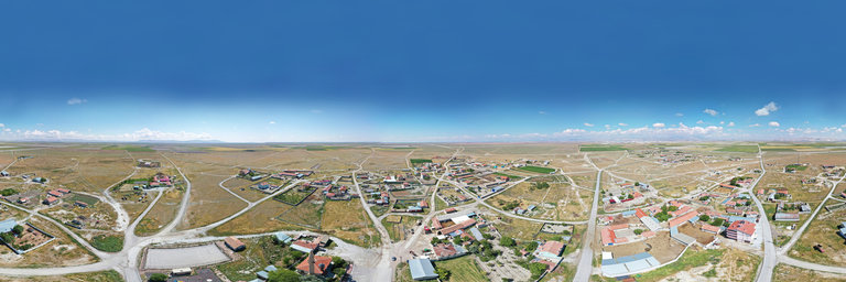
Boveglio is a small village of about 150 inhabitants in the province of Lucca. It is located at 750 m a.s.l. in the Pescia valley of Collodi (Valleriana), between the Pizzorne plateau and Mount Battifolle.
360° panorama by Simona Bartolomei. Click the image to open the interactive version.
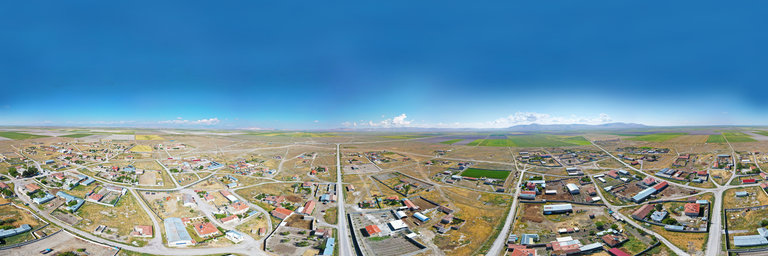
Boveglio is a small village of about 150 inhabitants in the province of Lucca. It is located at 750 m a.s.l. in the Pescia valley of Collodi (Valleriana), between the Pizzorne plateau and Mount Battifolle.
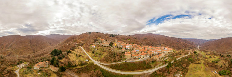
360° panorama by Simona Bartolomei. Click the image to open the interactive version.
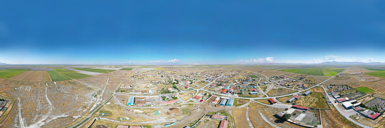
Boveglio is a small village of about 150 inhabitants in the province of Lucca. It is located at 750 m a.s.l. in the Pescia valley of Collodi (Valleriana), between the Pizzorne plateau and Mount Battifolle.
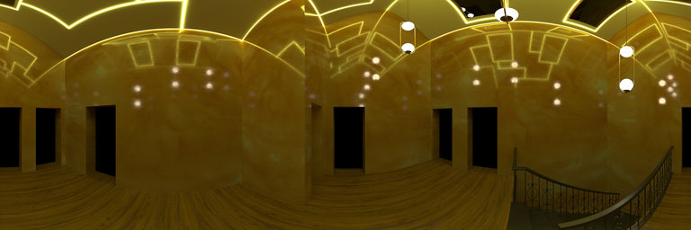
360° panorama by Andrew Bodrov. Click the image to open the interactive version.
NASA's Mars Exploration Program (Image credit: NASA/JPL-Caltech/MSSS) Sol 468: Anniversary of Launch The images for panorama obtained by the rover's 34-millimeter Mast Camera. The mosaic, which stretches about 30,000 pixels width, includes 125 images taken on Sol 468 (November 29, 2013). MSL launched from Florida two years ago today--I was pretty nervous that day, but the mission has obviously gone extremely well! Planning is restricted this week (results of the drive planned for Sol 465 will not arrive until tonight), so we are planning 3 sols of untargeted remote sensing to get the rover through the Thanksgiving holiday. We crammed a lot of science into the 3-sol plan, including a SAM atmospheric measurement, another CheMin analysis of the drill sample, and several ChemCam and Mastcam observations of the sky and distant targets. We also took this opportunity to perform some instrument maintenance activities. So far, planning is going very smoothly! Written by Ken HerkenhoffUSGS Scientist Other panoramas of Mars by Curiosity rover: http://www.360cities.net/sets/curiosity-mars
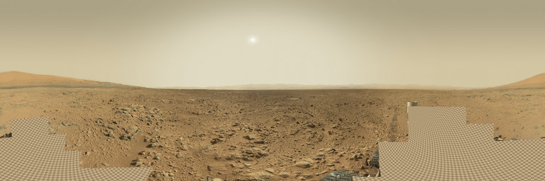
360° panorama by Andrew Bodrov. Click the image to open the interactive version.
M"unsterbr"ucke is a pedestrian and road bridge over the Limmat in the city of Z"urich, Switzerland. It is listed in the Swiss inventory of cultural property of national and regional significance. It is indirectly named after two M"unster (minsters), the Fraum"unster and Grossm"unster. The earliest bridge at the location was built in the Roman era, and in medieval Z"urich a wooden bridge, called the Obere Br"ucke (upper bridge), connected the two banks of the Limmat. Between 1836 and 1838, the former wooden bridge was replaced by a stone bridge. Alois Negrelli engineered and supervised the construction of the bridge as it is still present today it was inaugurated in August 1838. The bridge congested the traffic on the Limmat, so a land connection in the then "modern" Z"urich was urgently needed by replacing the narrow medieval Reichsstrasse towards the present Rathausbr"ucke crossing. Thus, sections of the present Limmatquai on the eastern shore of the Limmat were built simultaneously. Source: Wikipedia
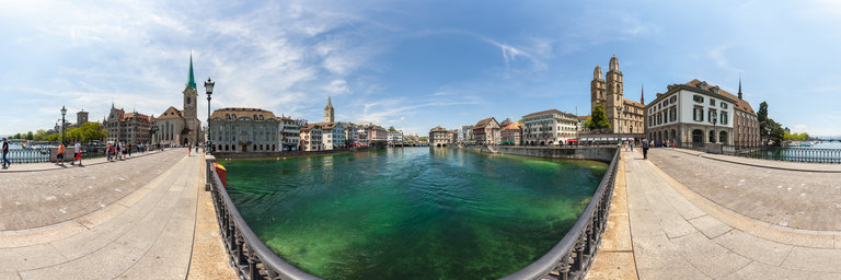